About Tools

The Coastal Resilience Toolkit (CRT) is a relatively simple to use set of procedures, packaged within a software-based toolkit which aims to support governments in coastal areas to at attain sustainable coastal resilience for populations at risk of threats emanating from their location next to the sea.
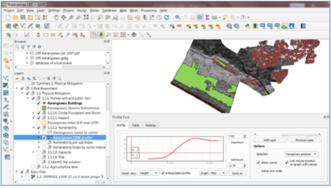
The CRT operates on a platform based on QGIS software, a desktop geographic information system application that supports viewing, editing, reporting, and analysis of geospatial data1 . Its ability to analyse and visualise digital information makes it a state-of-the-art tool to enable a data-supported approach to the development of coastal resilience mapping and related mitigation efforts. The CRT works in complementarity with and relies upon additional inputs such as the outcomes of discussion forums, the provision of information from resource persons, expert judgment, and other analytical tools outside QGIS capabilities.
The CRT also provides a solutions database which is based on documented best practices from Indonesia and Australia in responding to various coastal hazards (abrasion, extreme sea waves, tsunami) and damage types (human settlements, agriculture, mangrove, coral reef, etc). These solutions are either nature-based or a combination of hard structures (such as sea walls, and wave breakers) and soft structures (e.g. mangroves), are environmentally friendly, cost effective, include a strong community involvement element, and are integrated with other aspects of development, particularly economic. The Coastal Resilience Toolkit will provide the following tools and services across four sequential steps:


